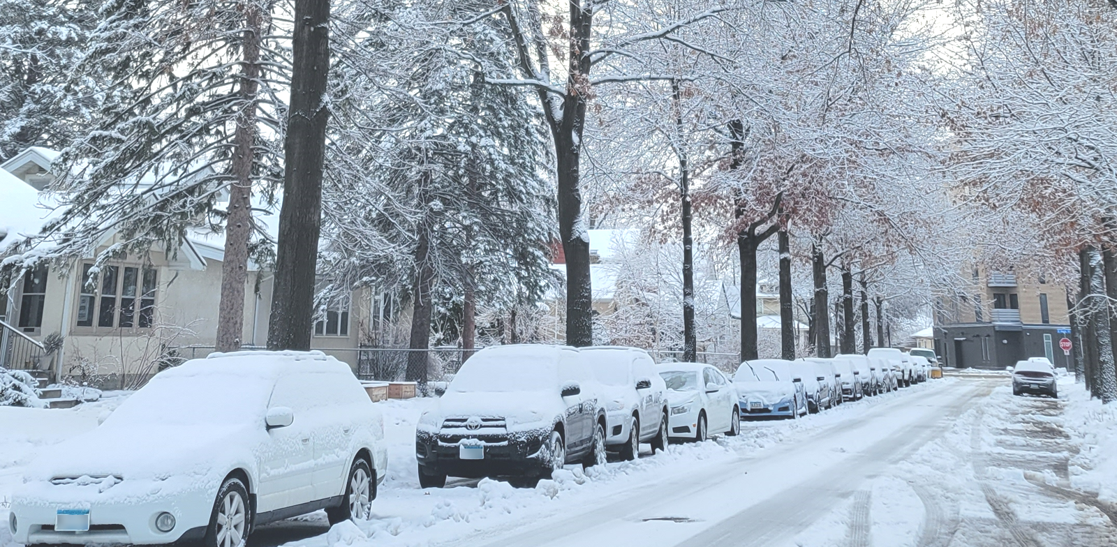
Snow season
We explain what to do in a snow emergency, where to park and how to clear snow and ice from your property.

What to do when it snows
I want to
Explore this section
Know where to park when it snows
We may enforce special parking when it snows. Be mindful and stay tuned so you know when we enforce special parking rules.
Snow emergencies
After a heavy snowfall, we may declare a snow emergency, which puts special parking rules into effect for three days.
See snow emergency parking rules
Temporary signs
We may post temporary "No Parking" signs so we can do snow and ice control even if a snow emergency is not in effect.
Winter parking restrictions
During a winter with unusually high amounts of snow, buildup along the streets can make it difficult for emergency vehicles to easily pass through. If this happens, we may declare winter parking restrictions.
Severe winter storm warning
If a major storm is coming, we may temporarily restrict parking for up to 48 hours ahead of time. This means you cannot park on the even side of non-snow emergency Routes. We'll post "No Parking" signs on the affected streets.

Share snow information
Visitors may not know about these parking rules. You can help by sharing snow emergency and winter parking rules with guests, customers and employees.
Snow season maps
Report an issue
Contact us
Minneapolis 311
- Resident Services
- Property & Housing
- Utility Billing
- Utility Services
- Animals & Pets
- Garbage, Recycling & Cleanup
- Community & Neighborhoods
- Public Safety
- Workforce Development
- Business Services
- Things to Do
- Getting Around
- Government
- Jobs at the City
- Mayor
- City Council
- Find My Ward
- Council Members
- Ward 1 - Elliott Payne
- Ward 2 - Robin Wonsley
- Ward 3 - Michael Rainville
- Ward 4 - LaTrisha Vetaw
- Ward 5 - Jeremiah Ellison
- Ward 6 - Jamal Osman
- Ward 7 - Katie Cashman
- Ward 8 - Andrea Jenkins
- Ward 9 - Jason Chavez
- Ward 10 - Aisha Chughtai
- Ward 11 - Emily Koski
- Ward 12 - Aurin Chowdhury
- Ward 13 - Linea Palmisano
- About City Council
- Committees
- Meetings
- Departments
- 311 Service Center
- 911
- Arts & Cultural Affairs
- Assessing
- City Attorney
- City Auditor
- Communications
- City Clerk
- Civil Rights
- Community Planning & Economic Development
- Community Safety
- Emergency Management
- Finance & Property Services
- Fire
- Health
- Human Resources
- Information Technology
- Intergovernmental Relations
- Neighborhood & Community Relations
- Neighborhood Safety
- Performance Management & Innovation
- Police
- Public Service
- Public Works
- Racial Equity, Inclusion & Belonging
- Regulatory Services
- Boards & Commissions
- Charter & Code of Ordinances
- Elections
- Government Data
- City Budget
- Projects
- Programs & Initiatives


