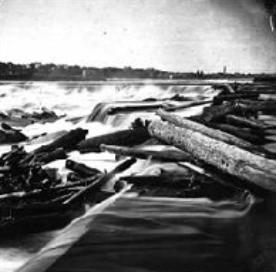
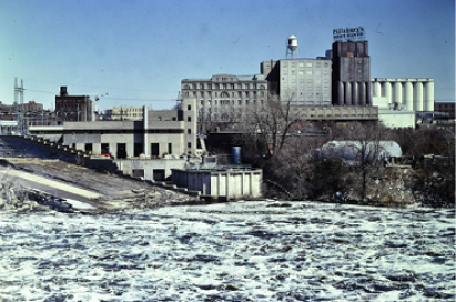
The St. Anthony Falls Historic District is centered around Owámniyomni, or St. Anthony Falls. This water resource powered the industries and businesses that formed the city of Minneapolis.
The Mississippi River runs through this district. Water is an important resource to the Dakota community. It is essential for life. The river is also a transportation route. The waterfall got its English name from Belgian missionary Father Louis Hennepin in 1680.
In 1837, the U.S. government signed treaties with the Dakota and Ojibwe tribes. European American settlers arrived in the area and took control of the land. In 1849, Franklin Steele platted the town of St. Anthony on the east bank of the river. He also built a mill and dam, taking advantage of the waterfall’s power. Other mills followed and the population soared.
The west bank was opened for settlement in 1852. It also grew at a fast rate. Soon there were as many as 16 sawmills near the falls. Then sawmills began to be replaced by flour mills. In 1873, Minneapolis and St. Anthony merged into one city.
From 1888 to 1930, Minneapolis was the largest flour center in the country. The city continued to grow rapidly. Hydropower facilities developed. The waterfall helped generate electricity to the city’s business district. Expanding railroad networks transported goods to and from the city.
The historic district includes commercial buildings, housing, bridges, and churches. On both sides of the river, a few mill buildings remain standing. The east bank has more of the early commercial buildings. Main Street Southeast still has brick and stone pavement. One of the city’s oldest houses, the Ard Godfrey House, is a few blocks from the river. Our Lady of Lourdes Church also still stands. It is one of the oldest continuously used churches in the city.
The riverfront area has changed over time. Some buildings were demolished as part of renewal efforts. Many multi-family buildings have been added. Some are low-rise, others are high-rises. This area still has a wide range of uses, as it did historically.


