Logan Park Industrial
Dates
2026-2027
Project overview
The City is going to rebuild a few streets in Northeast Minneapolis. The project area is centered around Central Avenue and the BNSF rail line. This was an industrial area, but has changed in recent years. It now includes apartments, artist studios, offices, and restaurants. This project will replace the old streets, sidewalks, and other public infrastructure. It will also update the street design to better meet the needs of the neighborhood.
Upgrades may include:
- New signs and pavement markings
- New sidewalks
- Pedestrian ramps that comply with the Americans with Disabilities Act
- Bicycle accommodations
- Pavement, curb, and gutter improvements
- Utility improvements
The Logan Park neighborhood produced a report on their vision for Quincy St NE.
Read the Logan Legacy Street Taskforce report on their website
Project goals
The project aims to:
- Replace and upgrade old roads, sidewalks, and other public infrastructure
- Make sure that people can walk, bike, and roll safely, easily, and comfortably
- Improve how the streets work while keeping unique features of the area
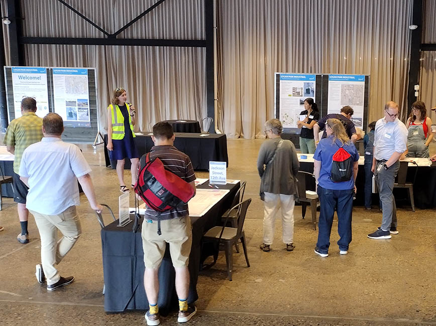
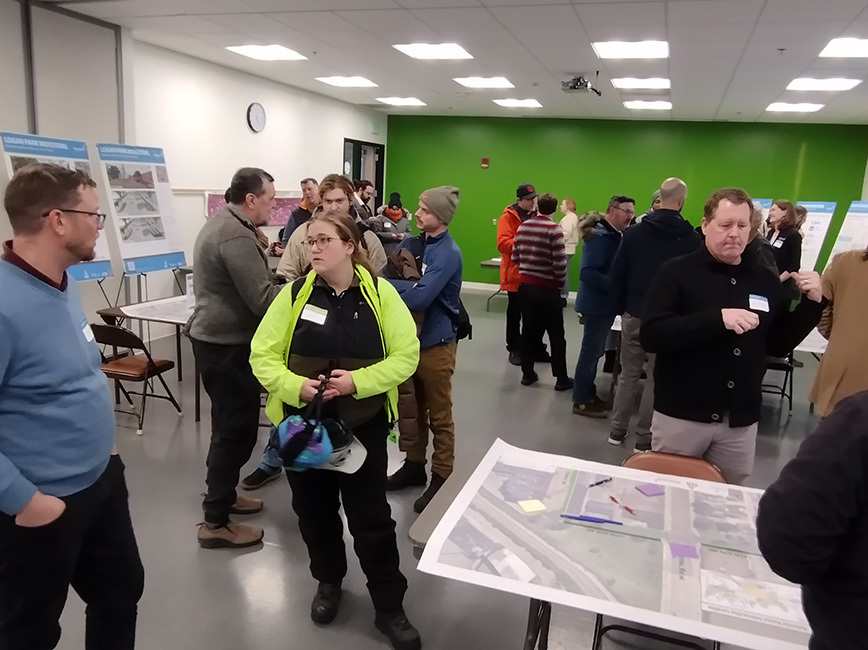
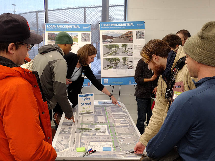
- Determine what the community wants for the area through public engagement
- Support the current and future variety of land uses
- Support the area as a destination district
Project area
We plan to include the following streets:
- 12th Ave NE, from Jackson St to Central Ave
- 13th Ave NE, from Central Ave to Tyler St
- 14th Ave NE, from Quincy St to Tyler St
- Jackson St NE, from Broadway St to 12th Ave
- Quincy St NE, from Broadway St to 15th Ave
- Tyler St NE, from Broadway St to 13th Ave
- Van Buren St NE, from 14th Ave to dead end at Northrup King Building
Existing conditions
Many of the streets in the project area were built of brick over 100 years ago. Much of the old brick remains but has been patched over many times, creating an uneven surface. The streets lack a proper stormwater system resulting in drainage issues. Many places have missing sidewalks and pedestrian ramps. This makes the area difficult to navigate for many, including people with disabilities.
Quincy Street update
Public Works has developed a new set of concept layouts for Quincy Street. The layouts include three different options. The final concept layout could include elements from any of the three options. You can view the concepts and take a short survey to provide your feedback.
Community Engagement
Project resources
Planning and funding


Project phase
This project is currently gathering input.
Input
Design
In Progress
Complete
Sign up for project updates
Sign up to get alerts about this project. You'll need to provide your email address.
Contact us
Phone
Address


